Ocean observatories
Before Hurricane Ivan wreaked havoc on Gulf of Mexico oil and gas pipelines and platforms, Louisiana State University's Coastal Studies Institute forecast the storm surge scenarios via its ocean-monitoring system.
LSU assembles computer models of oceanographic conditions based upon meteorological data provided by its Wave/Current/Surge Information System (WAVCIS). Soon, WAVCIS will make 3-day forecasts of various wind and wave parameters in addition to its current real-time sea-state conditions. The information is published on its web site: www.wavcis.csi.lsu.ed.
Sensors are mounted on ChevronTexaco Corp.'s platforms on the Outer Continental Shelf. The instruments are above and below water and on the gulf floor. The information is stored in computers on the platforms and sent via satellite-based cellular telephone network to WAVCIS labs in Baton Rouge.
Gregory W. Stone, LSU Coastal Studies Institute director and a coastal processes and coastal erosion researcher, is soliciting the industry's cooperation and financial assistance to demonstrate that WAVCIS will work in deep water.
"We know the industry is moving out into deeper water, which is where we want to go," he said. "This would allow us to measure current speed and direction in real time throughout thousands of feet of the water column, in addition to waves and meteorological data." The capability could improve advance storm information for emergency planners.
History
In 1998, ocean-monitoring devices were scarce off Louisiana when Hurricane Georges was headed toward New Orleans.
"The ability to measure and predict storm surge is critically important to Louisiana because so much of the state is at or below sea level," Stone said. "We were lucky, we jumped over a snake with that particular storm, and it went elsewhere."
At that time, only one of 20 federally funded weather buoys in the gulf was off Louisiana and could not provide storm surge information because it's a floating device. Stone has obtained over $5 million in grants from various federal and state agencies for WAVCIS.
"This system has operated beautifully through several hurricanes over the past 4-5 years," Stone said. "The oil and gas industry can use WAVCIS to look at conditions during big events. Given the magnitude of waves and currents during storms, oil companies can begin to assess what type of damage to expect" before personnel return to the platform to evaluate the damage.
Oil companies use WAVCIS information daily to assess weather conditions and to determine the safety of sending supply boats and crew helicopters out to platforms.
Platforms
Stone prefers manned platforms because these structures have electric power and because WAVCIS technicians can hitch rides on crew helicopters to perform routine maintenance.
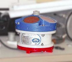
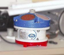
"The footprint for the instrumentation is very small," he said. "It does absolutely nothing to interfere with everyday operations." For instance, an Acoustic Doppler Current Profiler—about the size of a dinner plate and 6 in. tall—sits on the seabed, is attached to a platform leg, and measures currents throughout the water column as well as waves 24 hr/day.
null
WAVCIS also provides information helpful to oil spill response planners and a database for wetlands restoration efforts.
"There are a lot of advantages to the oil and gas industry with this program," Stone said. "It really has a multitude of benefits for a multitude of end users."
He believes the industry has a responsibility to cooperate with coastal research because the gulf is home to thousands of platforms and related infrastructure. Louisiana's coastal erosion and loss of wetlands threaten those structures. Wetlands act as buffers to reduce the impact of surge and waves associated with a hurricane.
Calling Ivan worse than Andrew, Betsy, and Opal, Stone said that the storm swept away beaches all along the northeastern Gulf Coast.
The WAVCIS web site features a video clip taken aboard the Deepwater Horizon semisubmersible during Ivan that shows extremely powerful waves. The rig is drilling for BP PLC in 6,800 ft of water 150 miles south of Grand Isle, La.

