A spy in the sky
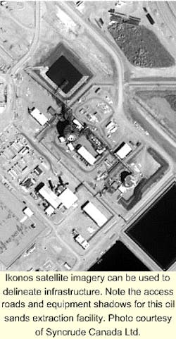
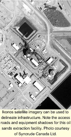
With the launch of Space Imaging Ikonos satellite in September 1999, the petroleum industry gained a new tool for visualizing infrastructure, building base maps, and defining pipeline corridors.
"In the past, high-resolution imagery was the domain of national security organizations," said Steve Adam with Canadian Geomatic Solution Ltd. "However, this is no longer the case," he told attendees at Geospatial Information & Technology Association's GIS for Oil & Gas Conference last September.
The Ikonos satellite, which orbits the Earth at an altitude of 423 miles, can acquire black and white images (panchromatic) at a resolution of 1 m and multispectral images at 4 m (red, green, blue, near-infrared). On the other hand, the next-best commercially available images, provided by the Indian Space Agency's IRS-1 satellite, can achieve only 5-m resolution for panchromatic images and 23-m for multispectral (green, red, and infrared).
Attention to detail
"In a practical sense, spatial resolution describes how much detail is visible to the human eye in a photographic image," Adam told OGJ. "High-resolution images are sharp, and many small details can be seen." Yet even the best pictures have limitations. "If you wear glasses, you can experience the effect of reduced resolution simply by taking them off." Thus, the ability to resolve, or separate, small details is one way of describing spatial resolution.
Spatial resolution for satellite images is usually expressed in meters. For example, Landsat images typically have a resolution of 30 m. "This means that two objects, 30-m long or wide, sitting side by side, can be separated." Consequently, resolution on the order of 1 m will allow a viewer to see a car outline but probably not a human.
The number of shades for panchromatic or multispectral images, as denoted by the number of bits/pixel, also plays an important role in resolution. "Since the Ikonos imagery is 11-bit, we can see 2,048 individual shades of grays in all five bands, including panchromatic red, blue, green, and near-infrared," said Gary Napier of Satellite Imaging. "This allows for better image interpretation, especially in shadows and bright areas. On the other hand, aerial photos are typically scanned at 8-bit. Thus, they can only separate out 256 shades."
Applications
Satellite imagery has become an extremely useful layer for geographic information systems, as software programs such as ArcView and MapInfo use raster images as a foundation for building base maps and performing spatial analysis. A geophysicist, for example, may use an Ikonos image as a backdrop for plotting shot points. Additionally, digital elevation models can also be built.
"This development has opened the door for corridor applications and has been thoroughly implemented by TransCanada PipeLines [Ltd.] in mapping over 1,500 miles of their mainline," Adam said. "Drillers can even use it to find the closest road to a new location."

